Lamar Valley, WY — Unclassified
Wish you were here.
Research
Logged incidents from the field. Inconclusive, all of them. The folder is getting thick.
That postcard is a door. Incident Zero is a playable Bigfoot field investigation — pick your gear, track the subject, and try not to embarrass the Bureau.
→ Investigate
Lamar Valley, WY — Unclassified
Wish you were here.
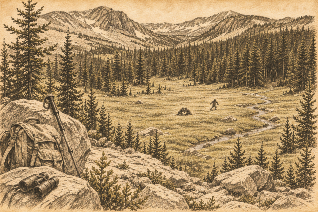
Day two on the Highline. I'd come over Rocky Sea Pass that morning and was working along the ridge above the Rock Creek drainage, where the trail stays high and…
Read the full report →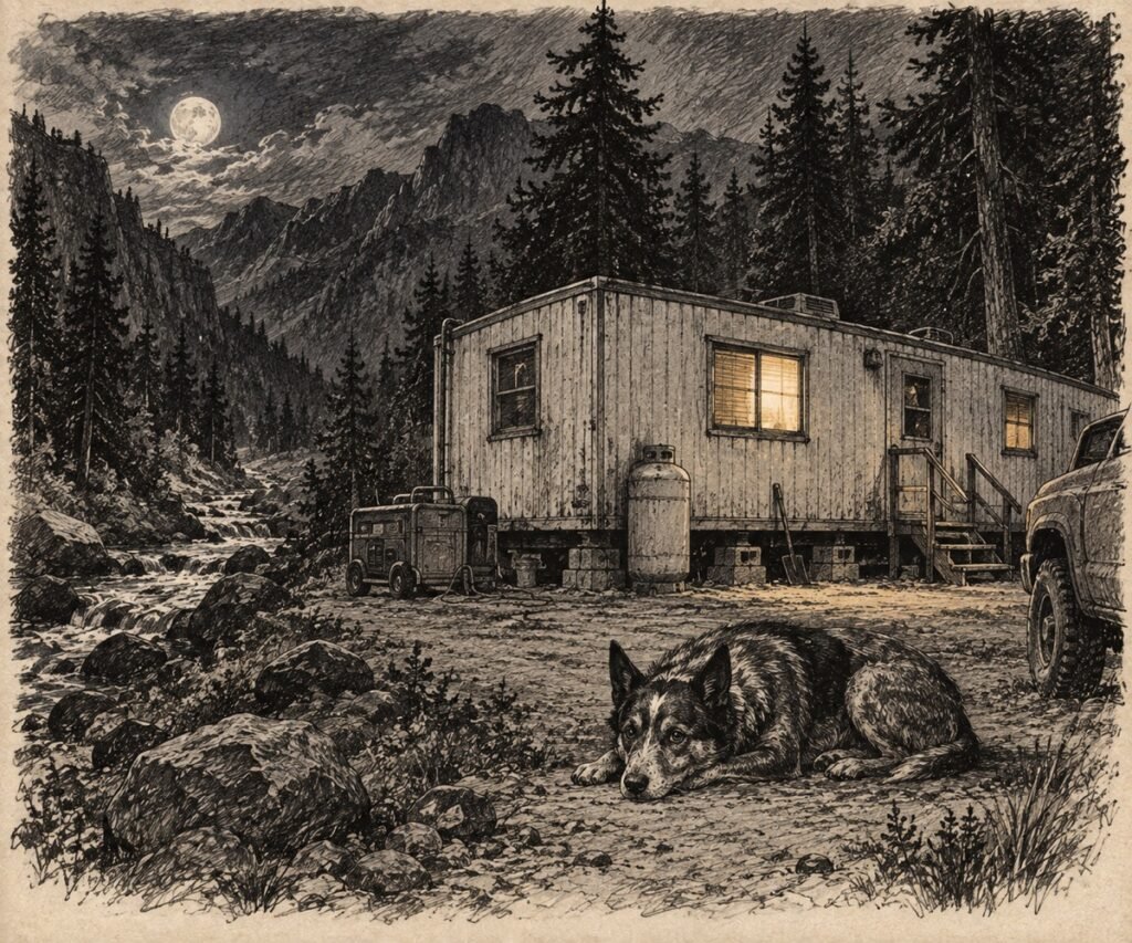
They put me up the canyon for the summer to run equipment on the road job. Company trailer. Single wide, hauled up Highway 92 and leveled on a gravel pad…
Read the full report →
Filed without conclusion. The trail disappeared two miles earlier. Not officially. The line still existed on the map folded in my jacket pocket, but on the mountain itself it had…
Read the full report →
Twelve miles in. I was alone, which I prefer. The kind of quiet out there that has texture to it — you can hear your own pack shifting, your own…
Read the full report →
I'd been out since four. The elk rut was winding down and I wanted to catch the aspens before the wind took them. Got what I came for, mostly. The…
Read the full report →
Left the truck at the second pullout before the gate. I had the wrong lens on the camera, 500mm. This is not relevant to what happened next, but I want…
Read the full report →